
On Wednesday, the 1st of Aug, we left St. Martins
and drove further up the coastline to Hopewell Cape. Here
is a map.

We are now at another CG which is also along The Bay, but we
can't walk out to it due to the low marsh land.

This CG is called the Ponderosa Pines and located about a mile from the
Hopewell Rocks. It is a popular place to
come and watch the tides come in and go out.
You walk down about a 100 steps, and, if the tide is in, this is as far
as you can go.


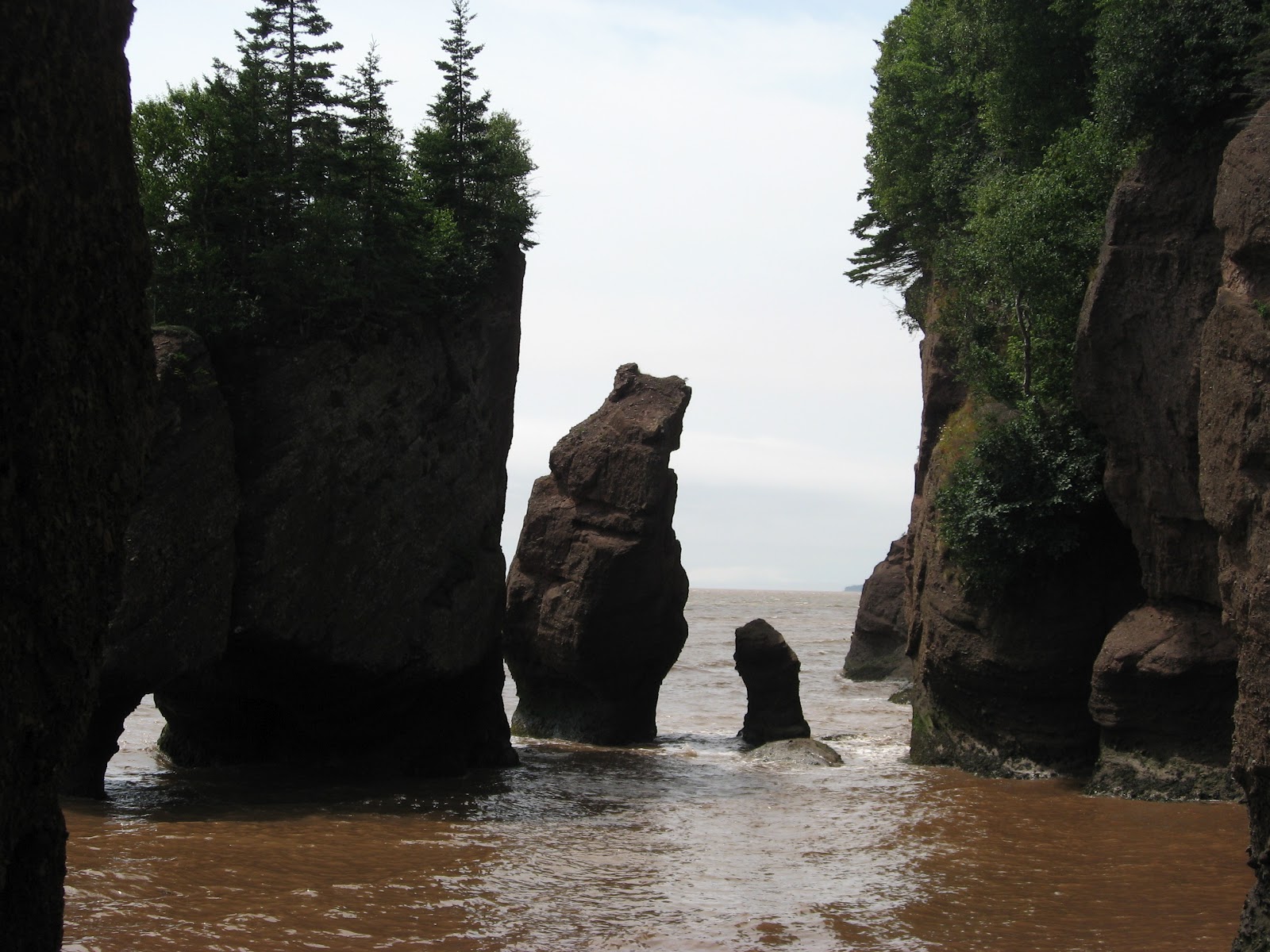
When the tide is out, you can see just how much farther you
can go. The average tide rises 42+ feet
here. The rocks are called flower pots
because of the way some of them look.


We came here three times – once when the tide was in. The next day we came back twice – once when
the tide was out and then later in the day as it came back in.
These pictures show the tides rising.


Here it is approaching the steps.

And now it has filled in again.
These high tides only occur here - no where else in the world.
Nova Scotia is our next stop.
No comments:
Post a Comment