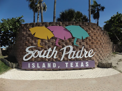
After spending a week in the Rockport/Corpus Christi area, we left on a Sunday morning for South Padre Island. The great part about this area is that it is too early for the snow birds from the north to arrive and fall breaks have not started. Soooo...very little activity here.
South Padre Island is a 34-mile long barrier island and it's only a half-mile at its widest point.
The island basically has three north-south streets:
- Padre Boulevard is the main Boulevard with hotels, restaurants, attractions and shopping.
- Gulf Boulevard is located to the East of Padre Boulevard and has 23 public beach access points, bike paths, several beachfront resorts, and restaurants and bars.
- Laguna Boulevard is located to the West of Padre Boulevard and is the entertainment district with several bayside bars, restaurants, nightclubs and attractions.
Here is our site at the KOA on SPI. Dave and Nancy next to us and a few other campers in the park.
Next to the CG is Pier 19, which we soon found out has very good food whether it is for dinner or breakfast. And reasonable prices too.
Sunset view from Pier 19. The bridge in the distance separates SPI and Port Isabel.
Port Isabel has some interesting sites, including this water tower.
There is a small acquarium in the area with some interesting sea animals.
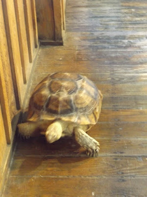
This turtle walks the floor in the acquarium and tries to get out the door if left open too long!
Dave found a special place???
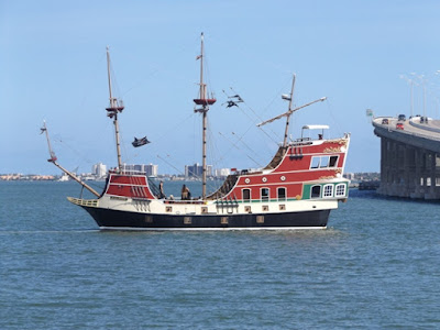
Laguna Bay has the usual pirate ship that will sail in the bay waters.
And, a pirate nearby, of course!!
SPI beach (with the remnants of red tide still visible).
For the majority of the month of October, red tide plagued the coastline along South Padre Island. Although the deceased fish and shrimp count was been high over the past month, thankfully, due to its limited range and low concentrations, we saw no turtle directly related to the harmful algae bloom.
The effects of red tide are widespread, affecting people, fish, shellfish, marine mammals, and birds. These harmful algae blooms run like a ribbon along the coastline, occurring when colonies of algae grow out of control, producing toxins, and often turning the affected water red. When these masses of algaie decompose, oxygen is depleted causing animals to leave the area or die because of the event. Waves can cause these toxins to become airborne, and with the ever-shifting winds, on SPI, these toxins can trigger irritation among residents and beach goers.
We drove as far north on the island as we could. Not much up there yet, but did find that blowing sand is a problem.
Sand castles are prominent up and down SPI.
There is a turtle rescue group on the island that have turtles in various stages of rehab, and, some that can never be released back into the gulf.
One evening we drove over to Brownsville to see Julie's college roommate (and our friend as well) Catherine Fletcher and her friend John. We found their house, got a tour, and then drove all over Brownsville learning about all the city.
Also saw the fence dividing TX and Mexico with the Rio Grande River in the background.
After a pleasant evening with Catherine and John, including a great Mexican dinner including margaritas, we drove back to SPI and left the next morning for Schulenburg, TX. (Why Schulenburg?? Find out in the next installment!)


No comments:
Post a Comment