Monday, February 8, 2016

Western Travels Days 2-3 February/March, 2016


Tuesday, 2/2.  Our plan was to spend the night in Post, TX, and then head northwest to Albuquerque to see my cousin, Judy, on Wednesday.  Unfortunately, when we left Post, we encountered fierce winds from the north.  It was so strong that the transmission wouldn’t shift into high gear.  The RPM’s which normally are about 1500 were 2200 and my gas mileage was about 5 MPG.  According to the weather, it was going to be that way all the way.   I couldn’t see straining the engine all that way so after about 20 miles, we turned around and went back to the campground in Post.
We had a good rest of the day and in the morning got up to leave, only to find that our water hose had frozen and we had no water.  So I went out with the hair dryer and got it thawed enough to turn the water off and disconnect the hose.  The hose was still frozen so we just threw it in the back of truck and hoped that it would thaw during the day.
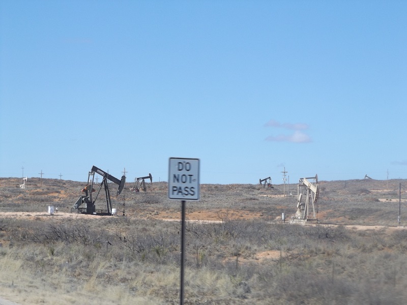
Saw a lot of oil wells along the way here in NM.  Loco Hills, operated by Standard Oil.


And the refinery.


We also saw numerous groves of pecan trees.


Flat land with mountains in the distance.


We started our climb up into some mountains on the way to Alamogordo.  
Judy wanted this picture to show that there is snow!


Little did she know (or me for that  matter) that we would encounter a lot more snow as we got farther up into the mountains!


8,650 feet up here and cold again.  We actually stopped and I turned on the heater in the trailer just in case any of the pipes might freeze up.  (But about 10 minutes later we were on our way down and the temps came back up).


Looks like they had just plowed the roads a day or two before we got there. Temp was 17 degrees in Cloudcroft, NM, a popular ski area.  But it was a beautiful trip.
On the way down, a long 8 miles with 6% grades, a tunnel came up.


Almost out of the mountains with Alamogordo in the distance.


And a snow-capped mountain off in the distance.  Not sure what/where it was, but it really stood out.


Got to our campground about 4 this afternoon.  Before we could get setup a guy came over and started talking with us.  Turns out he and his wife are from Luverne, MN. About 25 miles south of Pipestone!!  And he is a cousin of a classmate of mine (Gloria Hermann).  So I had my annual with her picture and he had a current picture on his phone.  After we got setup, we went over to their trailer and visited for a couple of hours.  We made plans to get together with them in August when we are back in MN.
Tomorrow we are headed to Benson, AZ and will spend 5 days there before heading over to Why, AZ to meet up with some friends and will go into MX a couple of days later.

More later…

Monday, February 1, 2016

Western Travels Day 1 - February/March, 2016

Got up early this morning to get the trailer over the RV Shop to have the bearings repacked and the chassis lubricated.  Dropped the trailer off and went to breakfast.  Came back around 10 planning to read until they were done with the work.  Found out that they hadn't even started because the seal on their 10 ton jack blew attempting to raise our trailer.  So, they didn't get anything done.

We had planned to drive to Abilene after the work was done and spend the night at a CG there.  But since we left earlier, we drove all the way to Post, TX which is about 320 miles away (near Lubbock, TX).

Here is our itinerary for the next few weeks:

2/1/2016 Buck Creek RV Park Abilene TX
2/2/2016 Santa Rosa CG Santa Rosa NM
2/3/2016 Enchanted Trails RV Park Albuquerque NM
2/4/2016 Hidden Valley RV Park Deming NM
2/5/2016 Voyager RV Resort Tucson AZ
2/9/2016 Hickiwan RV Park Why AZ
2/11/2016 Playa Bonita RV Park Puerto Penasco MX
2/24/2016 Tower Point Park Mesa AZ

In case you are wondering what West Texas is like, here are a few pictures for you.  Sorry, some were blurry because Judy was trying to take them while we were driving.


West Texas Crude (almost all were still pumping even though the price of a barrel of oil has dropped drastically).


Miles and miles of wind energy between Abilene and Sweetwater, TX.


More wind energy between Sweetwater and Snyder, TX (about 20 miles of them).


Cotton fields.  Saw some farmers out getting their acreage ready for planting.


Arrived in Post RV Park around 5 and got setup for the evening.  Stayed hooked up to the truck but had to put all 4 jacks down to stop the swaying.  Extremely strong winds tonight.  The temperature got up to 81 degrees this afternoon but is expected to be 37 by tomorrow morning.  And Albuquerque is supposed to have temps in the teens overnight the next couple of nights!!!  Did not expect that!

October Trip - South Texas - Schulenburg

After leaving South Padre Island on Tuesday, we drove north to Schulenburg, TX where the "Painted Churches" are located within a 20 mile radius of the town.  They are all famous for their painted interiors.  
We found our campground in Schulenburg and the next day headed out to find the churches.
The first one is the Dubina Sts. Cyril and Methodius Catholic Church.


The second church was located in Ammannsville and is St. John the Baptist Catholic Church.


The third church is located in High Hill and is St. Mary's Catholic Church.


The fourth church is located in Praha and is St. Mary's Church of the Assumption.


Side view.


They were working on the interior of this church so we couldn't get any pictures but here is a marker outside.


From there we found the Spoetzl (Shiner) Brewery in Shiner, TX.  Couldn't take a tour because they were remodeling, but did get to sample several of their brews.


The last item for the day was dinner at a local restaurant known for its country music.   Took forever to get started and then not as good as expected.  (Maybe we expected toooo much!!).


The next day (Friday) we made our way back to Plano and got settled in the afternoon.

Saturday, January 16, 2016

October Trip - South Texas - South Padre Island

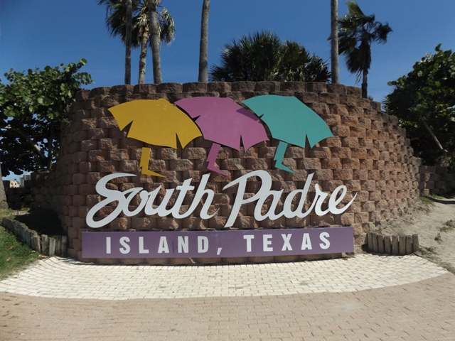
After spending a week in the Rockport/Corpus Christi area, we left on a Sunday morning for South Padre Island.  The great part about this area is that it is too early for the snow birds from the north to arrive and fall breaks have not started.  Soooo...very little activity here.


Maps

South Padre Island is a 34-mile long barrier island and it's only a half-mile at its widest point.

The island basically has three north-south streets:
- Padre Boulevard is the main Boulevard with hotels, restaurants, attractions and shopping.
- Gulf Boulevard is located to the East of Padre Boulevard and has 23 public beach access points, bike paths, several beachfront resorts, and restaurants and bars.
- Laguna Boulevard is located to the West of Padre Boulevard and is the entertainment district with several bayside bars, restaurants, nightclubs and attractions.

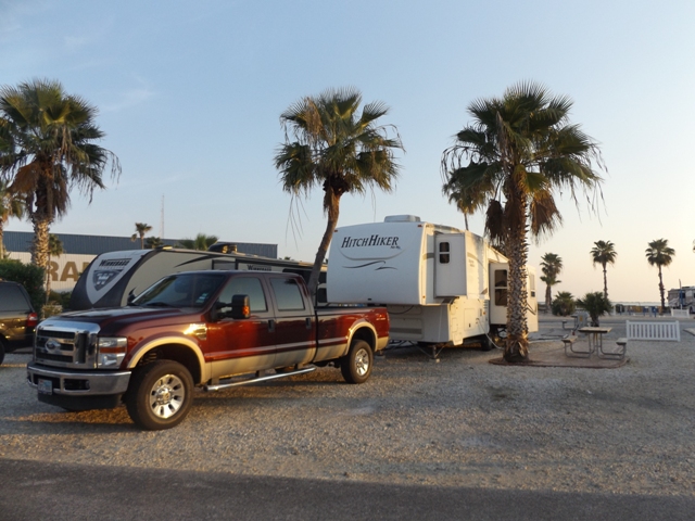
Here is our site at the KOA on SPI.  Dave and Nancy next to us and a few other campers in the park.


Next to the CG is Pier 19, which we soon found out has very good food whether it is for dinner or breakfast.  And reasonable prices too.


Sunset view from Pier 19.  The bridge in the distance separates SPI and Port Isabel.


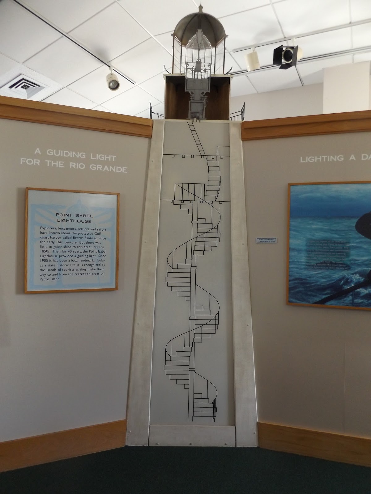
 Port Isabel has some interesting sites, including this water tower.


There is a small acquarium in the area with some interesting sea animals.


This turtle walks the floor in the acquarium and tries to get out the door if left open too long!


Dave found a special place???


Laguna Bay has the usual pirate ship that will sail in the bay waters.


And, a pirate nearby, of course!!


SPI beach (with the remnants of red tide still visible).


For the majority of the month of October, red tide plagued the coastline along South Padre Island. Although the deceased fish and shrimp count was been high over the past month, thankfully, due to its limited range and low concentrations, we saw no turtle  directly related to the harmful algae bloom.
The effects of red tide are widespread, affecting people, fish, shellfish, marine mammals, and birds.  These harmful algae blooms run like a ribbon along the coastline, occurring when colonies of algae grow out of control, producing toxins, and often turning the affected water red. When these masses of algaie decompose, oxygen is depleted causing animals to leave the area or die because of the event.  Waves can cause these toxins to become airborne, and with the ever-shifting winds, on SPI, these toxins can trigger irritation among residents and beach goers.


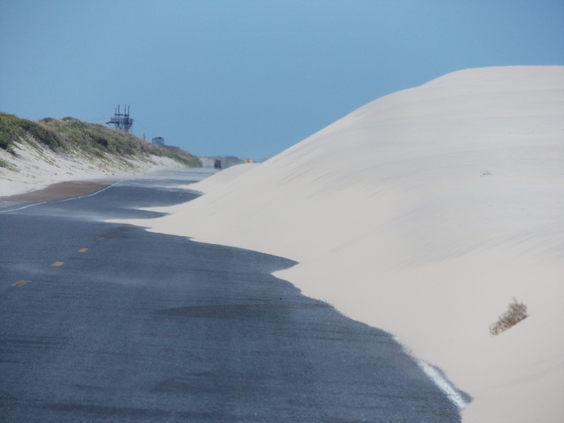
We drove as far north on the island as we could.  Not much up there yet, but did find that blowing sand is a problem.


Sand castles are prominent up and down SPI.


There is a turtle rescue group on the island that have turtles in various stages of rehab, and, some that can never be released back into the gulf.


KOA sign at the exit of the CG.


One evening we drove over to Brownsville to see Julie's college roommate (and our friend as well) Catherine Fletcher and her friend John.  We found their house, got a tour, and then drove all over Brownsville learning about all the city.

Also saw the fence dividing TX and Mexico with the Rio Grande River in the background.


After a pleasant evening with Catherine and John, including a great Mexican dinner including margaritas, we drove back to SPI and left the next morning for Schulenburg, TX.  (Why Schulenburg??  Find out in the next installment!)